Alpkopftrail
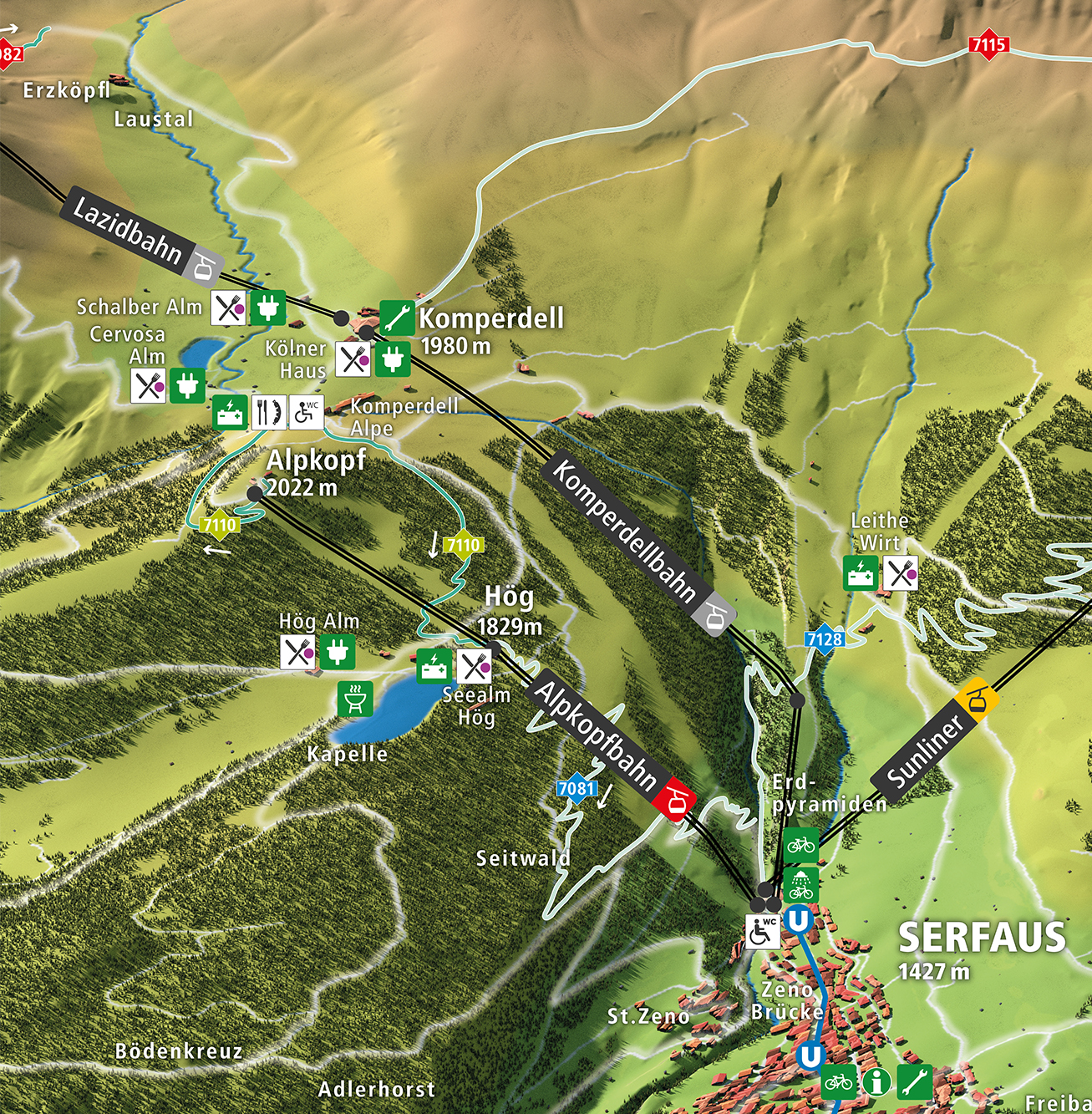
The Alpkopftrail leads from the eponymous Alpkopf down to the Högsee.
First you take the gondola to the top station, to a whopping altitude of 2,023 m. From there, you cruise through subalpine terrain. Slightly challenging sections, especially the second part, give you the opportunity to improve your bike handling.
With a length of 2.6 km and a difference in elevation of just 200 m, the Alpkopftrail is classified as “super easy” (green). The track thus offers all riders who want to get to grips with riding singletrack the ideal introductory experience. Experienced riders can also use the Alpkopftrail as a warm-up and enjoy a few relaxed single trail kilometres.
The end point of the track is in Hög at an altitude of 1,829 m. Here, the Hög Alm and the Seealm Hög are first-class places to stop for refreshments before tackling the next mountain bike tracks.
